THEMIS Mars Atmosphere Dust Maps
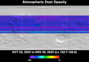
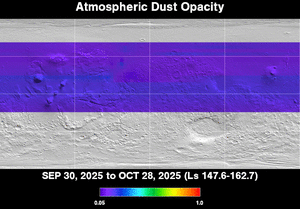
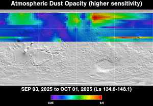
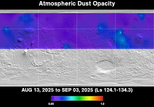
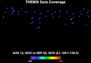
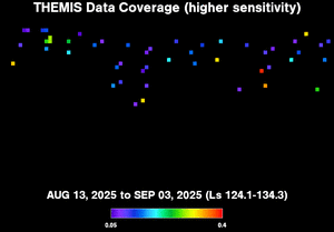
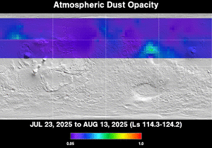
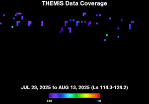
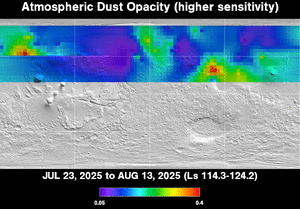
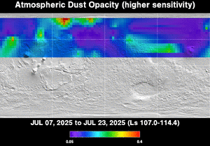
The Thermal Emission Imaging System (THEMIS) on NASA's Mars Odyssey orbiter is monitoring dust activity in the Martian atmosphere. The maps below go back to orbit 24400 (June 15, 2007). They show atmospheric opacity due to dust at an infrared wavelength of 9 micrometers. New maps are generated approximately every week, as data are received and spacecraft operations permit.
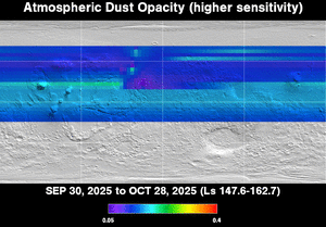
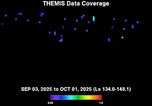
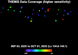
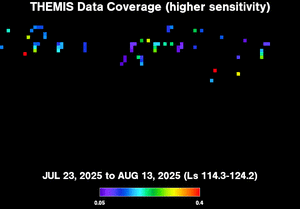
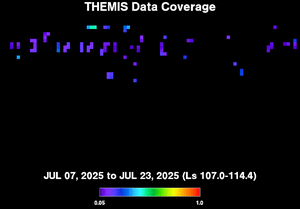
Starting with the maps for orbit 27016 (January 16, 2008), the maps on the left show the full range of opacity data (tau 0.05 to 1.0), while those on the right show the lower part of the opacity range (tau 0.05 to 0.4) expanded to full scale to make small changes more visible. Dust maps earlier than orbit 27016 show the full range only.
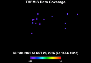
The coverage maps show where THEMIS collected data; the global maps are extrapolations from the data. Click on any map to load a larger version.


